Outline of Wyoming territorial evolution
Appearance


The following outline traces the territorial evolution of the U.S. State of Wyoming.
Outline
[edit]- Historical territorial claims of Spain in the present State of Wyoming:
- Nueva Vizcaya, 1562–1821
- Santa Fé de Nuevo Méjico, 1598–1821
- Gran Cuenca, 1776–1821
- Treaty of Córdoba of 1821
- Historical territorial claims of France in the present State of Wyoming:
- Louisiane, 1682–1764
- Historical territorial claims of Spain in the present State of Wyoming:
- Luisiana, 1764–1803
- Third Treaty of San Ildefonso of 1800
- Luisiana, 1764–1803
- Historical territorial claims of France in the present State of Wyoming:
- Louisiane, 1803
- Vente de la Louisiane of 1803
- Louisiane, 1803
- Historical international territory in the present State of Wyoming:
- Oregon Country, 1818–1846
- Provisional Government of Oregon (extralegal), 1843–1849
- Oregon Treaty of 1846
- Oregon Country, 1818–1846
- Historical territorial claims of Mexico in the present State of Wyoming:
- Santa Fé de Nuevo México, 1821–1848
- Gran Cuenca, 1821–1848
- Treaty of Guadalupe Hidalgo of 1848
- Historical territorial claims of the Republic of Texas in the present State of Wyoming:
- Disputed strip north from the headwaters of the Arkansas River and the Rio Grande, 1836–1845
- Texas Annexation of 1845
- Disputed strip north from the headwaters of the Arkansas River and the Rio Grande, 1836–1845
- Historical political divisions of the United States in the present State of Wyoming:
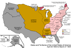
- Unorganized territory created by the Louisiana Purchase, 1803–1804
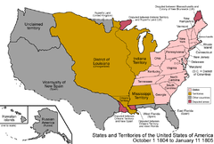
- District of Louisiana, 1804–1805
- Territory of Louisiana, 1805–1812
- Territory of Missouri, 1812–1821
- Adams-Onís Treaty of 1819
- Unorganized territory previously the western portion of the Missouri Territory, 1821–1854
- Disputed territory created by the Texas Annexation, 1845–1850
- Unorganized territory created by the Oregon Treaty, 1846–1848
- Unorganized territory created by the Treaty of Guadalupe Hidalgo, 1848–1850
- Territory of Oregon, 1848–1859
- State of Deseret (extralegal), 1849–1850
- Territory of Utah, 1850–1896
- Territory of Nebraska, 1854–1867
- Territory of Washington, 1853–1889
- Territory of Jefferson (extralegal), 1859–1861
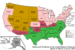
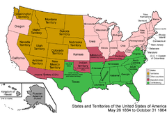
- Territory of Dakota, 1861–1889
- Territory of Idaho, 1863–1890
- Territory of Wyoming, 1868-1890[1]
- State of Wyoming since 1890[2]
See also
[edit] Nueva España
 La Louisiane
 La Luisiana
 Louisiana Purchase
 District of Louisiana
 Louisiana Territory
 Missouri Territory
 Mexican Empire
 Republic of Texas
 Oregon Territory
 Utah Territory
 Washington Territory
 Nebraska Territory
 Dakota Territory
 Idaho Territory
 Wyoming Territory
 State of Wyoming
References
[edit]- ^ Fortieth United States Congress (July 25, 1868). "An Act to provide a temporary Government for the Territory of Wyoming" (PDF). Library of Congress. Retrieved October 7, 2020.
- ^ Fifty-first United States Congress (July 10, 1890). "An act to provide for the admission of the State of Wyoming into the Union, and for other purposes" (PDF). Library of Congress. Retrieved October 7, 2020.
External links
[edit]Categories:
- Pre-statehood history of Wyoming
- Former regions and territories of the United States
- Outlines of territorial evolution of U.S. states
- Outlines
- Histories of territories of the United States
- History of the Northwestern United States
- History of the American West
- Geography of Wyoming
- Wyoming history-related lists
